
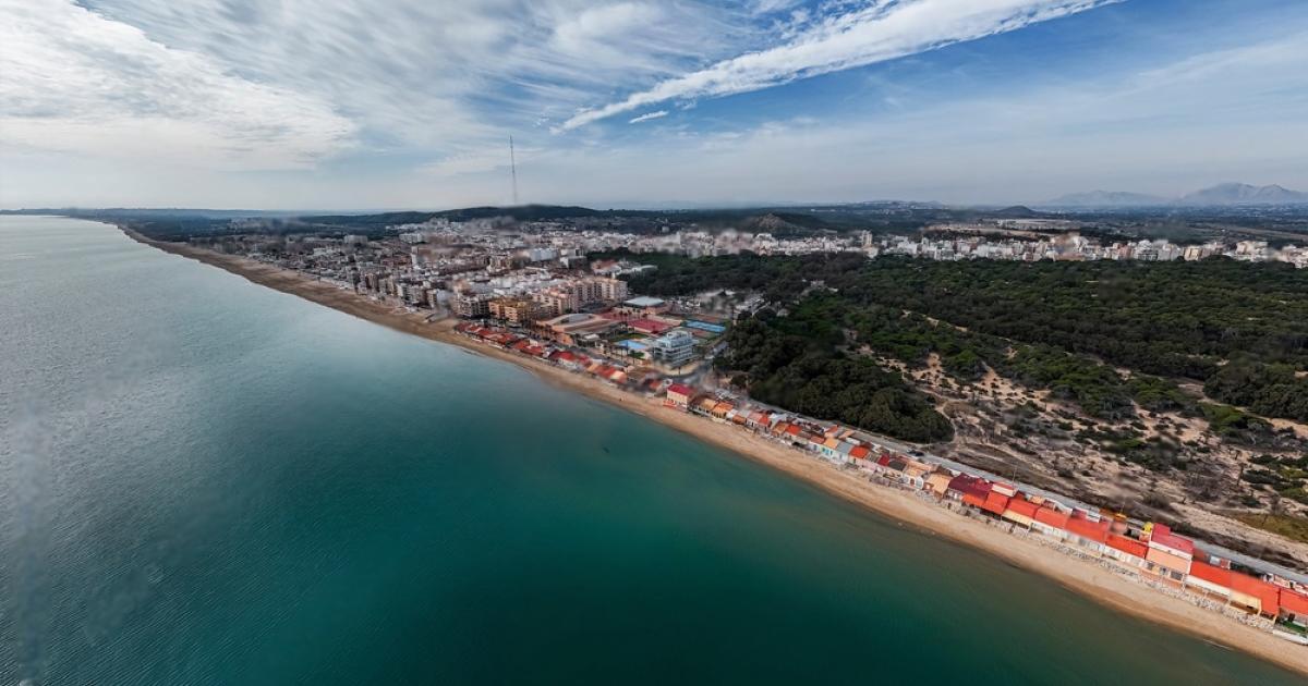
Acceleration of "La Rinconada" urbanization project in Guardamar del Segura despite flood risks and environmental hazards
The project has caused concern due to environmental and safety factors, as part of the 40,000-square-meter site is located in a Level 2 floodplain according to the Generalitat (Patricova) Territorial Plan for Flood Risk Management, which sets six levels of risk.
The Friends of South Alicante Wetlands Association (AHSA) has filed objections to the development of "La Rinconada," indicating that the natural and archaeological environment of the Segura estuary could be compromised. The AHSA also points out that much of the area faces additional threats, such as erosion and landslides. As a precautionary measure, the project will raise the banks of the urbanization by 1.20 meters to provide a protective barrier against flooding.
The area is also home to an important archaeological site, Cabeço Petit de l'Estany, a Phoenician settlement protected as a Cultural Asset (BIC). AHSA stresses that the construction of new homes could affect the context of the site, reducing the cultural and natural value of the area.
From an administrative point of view, the "La Rinconada" project is supported by the 2006 General Land Use Plan, which exempts the City Council from conducting a new environmental assessment, since the urbanization plan was already included in planning from almost two decades ago. This has prompted numerous environmental organizations to call for a reconsideration of the project and a possible reclassification of the land to include it in urban and regional green infrastructure instead of allocating it for construction.
After the end of the objection period, the City Council will submit the plan for final approval.
Author: Información