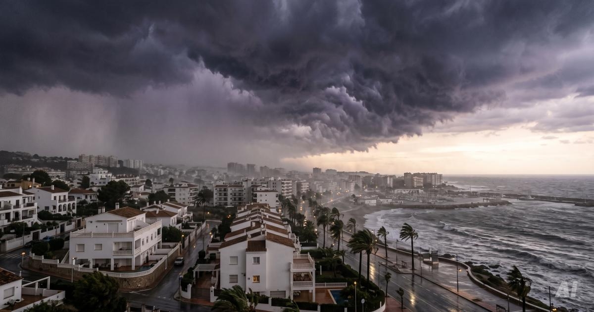
DANA is approaching the coast. What is this fall storm, and how can you prepare your home in Spain?
Blue skies, over 300 sunny days a year, and lazy afternoons on the beach—that’s why most of us moved to the Spanish coast. Every fall, however, the Mediterranean climate reminds us of its other, ruthless side. When the Spanish meteorological agency AEMET issues an orange or red alert, one word comes up in neighbors’ conversations: DANA.
What exactly is this phenomenon, during which months does it occur most frequently, where can you check for official warnings on an ongoing basis, and how can you protect your property to keep your patio and living room from flooding?
What is DANA, and where does the name come from?
For decades, the colloquial term gota fría, meaning “cold drop,” was used in Spain. Over time, meteorologists introduced a more precise scientific term: *DANA, an acronym for Depresión Aislada en Niveles Altos (Isolated High-Altitude Low-Pressure System).
This phenomenon occurs under specific atmospheric conditions:
- Detachment of a cold air mass: A bubble of frigid polar air “breaks away” from the jet stream circulating high in the atmosphere (at an altitude of 5–9 km) and drifts southward.
- The Mediterranean “steam bomb”: After a scorching summer, the waters of the Mediterranean Sea are extremely hot and evaporate rapidly, creating a layer of hot, humid air just above the ground.
- Collision: When cold Arctic air from high altitudes collides with warm moisture rising from the sea, violent convection occurs. Massive thunderclouds form, some as thick as a dozen or so kilometers.
The result? A wall of rain can fall suddenly and in a localized area. In just 2–3 hours, enough water can pour down per square meter to equal the average rainfall for several months.
Element Calendar: When Does DANA Appear Most Often?
Although, from a purely meteorological standpoint, a DANA-type system can form at any time of year, its most destructive forms exhibit a distinct seasonal pattern:
- Peak season (mid-September through late November): By far the most dangerous period, with conditions being particularly severe in October. The water in the Mediterranean Sea reaches its maximum temperature at this time (often 25–27°C), becoming a gigantic reservoir of energy and moisture ready to explode at the first contact with the polar cold.
- Spring episode (March–May): This phenomenon can also be felt in the spring, bringing a sharp drop in temperature, gusty winds, and hail. However, it is less likely to result in such catastrophic flooding because the seawater is much cooler after winter.
- Summer (July–August): Rainfall is rare and takes the form of isolated, brief thunderstorms inland and in mountainous areas, usually bypassing the coastal belt.
Why Do Spanish Streets Turn Into Rivers?
In Poland, rain seeps into the grass and forest litter. In southeastern Spain, the ground is dry, hard as concrete, and scorched by the sun, so water runs off it like it’s glass.
In addition, the landscape is crisscrossed by so-called ramblas or barrancos—completely dry, sandy riverbeds that serve as makeshift parking lots or walking trails for residents for 11 months of the year. During a DANA, water from the inland hills flows down these riverbeds at tremendous speed toward the sea. A street that was dry at 2:00 p.m. can be flowing with a knee-deep, rushing current by 2:30 p.m.
Where can I check official announcements and road conditions?
During severe weather events, social media is flooded with rumors and panic-stricken videos. It’s best to rely solely on official Spanish sources that are updated in real time:
| Institution / Service | Where to Look | Practical Applications |
|---|---|---|
| AEMET (Meteoalerta) | aemet.es (Alertas tab) | Primary government source. A 4-level risk map (green, yellow, orange, red) for each province, with 48–72 hours’ advance notice. |
| AEMET Rainfall Radar | aemet.es (Observation → Radar) | Shows the movement of thunderclouds every 10 minutes. It allows you to see in real time whether a thunderstorm is heading straight for your town. |
| 112 Emergency Response Center | Twitter/X: @112CV (Valencia/Alicante), @112RMurcia, @E112Andalucia** | Fastest local alerts: school closures, canceled classes, mayors’ decisions, and evacuations of at-risk areas. |
| DGT (Road Conditions) | infocar.dgt.es or the miDGT app | Real-time map showing the passability of national roads and highways, with flooding and detours marked. |
| ES-Alert System | Built into every smartphone (Cell Broadcast) | No installation required. In the event of an extreme life-threatening emergency, Spanish emergency services send a loud alarm signal and a text message to all phones in the affected area. |
Resident's Guide: How to Protect Your Home from DANA?
Spanish homes and apartments are built to dissipate heat, not to withstand flash floods. A few simple steps can help you avoid costly damage:
- Clean the drains on the tanning area and the patio (sumideros*):** This is the most common cause of flooding in living rooms. After the summer, dust, sand, and leaves accumulate in the drain grates. If the drain gets clogged, the patio turns into a pool, and the backed-up water flows under the patio doors straight into the rooms.
- Retract the awnings and put away the patio furniture: DANA brings not only rain but also gusty squalls. An extended awning acts like a sail—the wind can rip it from its anchors along with a section of the facade. Move lightweight chairs, umbrellas, and hanging planters indoors or push them close to the walls.
- Secure curbs and underground garages: If your home has an entrance at street level or if you park in an underground garage, keep sandbags or door seals on hand. Underground garages are the most vulnerable to flooding from water flowing in from the street.
- Check the seals on the sliding windows (correderas*):** Typical Spanish sliding windows rarely provide 100 percent watertight protection against horizontal, driving rain. Water can seep through the bottom tracks—it’s a good idea to place rolled-up towels in vulnerable spots.
Safety Rules: What Should You Absolutely Avoid?
- Never park in riverbeds (ramblas*):** Even if the sun is shining over your city, a downpour in the mountains 30 km away can send a massive flood wave rushing down the valley in just a quarter of an hour.
- Do not drive through flooded streets: Water just 30 cm deep can lift a passenger car and push it toward the sea or a drainage ditch.
- Do not ignore alerts: When AEMET issues a red alert, cancel your travel plans and stay home.
A storm is a spectacular and dangerous force, but a little caution, keeping up with official announcements, and properly preparing your terrace are enough to safely ride out the downpour with a hot cup of coffee—and wait for the sun to return, which it usually does the very next day on the Costa.